Who We Are
The Driving Force of the U's Spatial Community
U-Spatial is the University of Minnesota's center for geospatial research, support, and innovation. We bring together experts in GIS, remote sensing, and spatial computing to serve researchers, faculty, and students across every college and campus. Our mission is simple: make sure the "where" of your work gets the expertise, tools, and collaboration it deserves.
Our Story
For more than 50 years, the University of Minnesota has been a national and international leader in spatial scholarship — having helped create one of the first geographic information systems in the 1960s and offered the first professional degree program in GIS in the United States. U-Spatial carries that legacy forward as a nationally recognized model for how universities can integrate spatial data, visualization, analysis, and spatial thinking across disciplines.
A Hub, Not a Silo
U-Spatial is part of Research Computing within the University's Research and Innovation Office. We work at the intersection of disciplines, connecting researchers from public health to ecology, urban planning to digital humanities. We collaborate closely with large research centers and programs, but we also serve researchers working in the "long tail" of the scientific enterprise — smaller projects that, with a little spatial expertise, deliver disproportionately great benefits for the university and the state.
Leveling the Playing Field
We believe a new graduate student should have access to the same high-quality geospatial tools as a major research lab. That's why we manage the university's geospatial software ecosystem, provide free training and consultations, and work as scientific collaborators on projects of every scale. Whether you need to make your first web map or model statewide flood risk, we're here to make sure spatial thinking is within everyone's reach.
What Drives Our Work
Everything we do falls under four interconnected pillars that guide our mission and shape how we serve the university community.

Geospatial Expertise and Collaboration
The People Behind the Technology
We don’t operate as a transactional help line or a rigid bureaucracy. Our team is comprised of active researchers, data scientists, and spatial analysts who join your project as genuine scientific collaborators.
Whether we are helping an epidemiologist map a disease outbreak or working with a historian to trace ancient trade routes, we embed ourselves in the research lifecycle. From initial project scoping and methodology design to grant copywriting and professional cartographic execution, we provide the deep domain expertise that transforms raw data into discoverable insight.
Infrastructure and Software Management
Democratizing High-Powered Tools
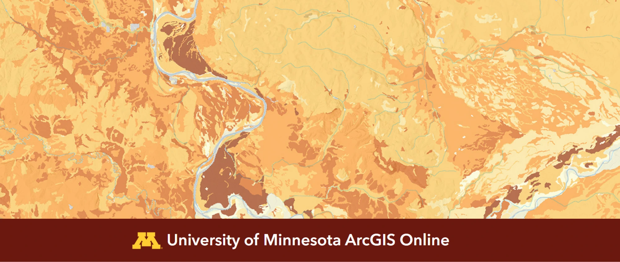
The modern spatial landscape requires massive computing power and complex data hosting. Our systems team handles the heavy technical overhead. Focus entirely on your science while data storage, server architecture, and security protocols is taken care of.
Driven by the belief that a first-year undergraduate should have the exact same capabilities as an elite global research lab, we actively maintain the university’s massive geospatial software ecosystem. This includes provisioning and supporting over 20,000 active ArcGIS accounts, licensing open-source platforms like QGIS, and securing cutting-edge satellite pipelines like Planet Labs for the entire campus community.
Knowledge Transfer
Building Institutional Capacity
A tool is only as powerful as the mind using it. We are dedicated to leveling the playing field by advancing spatial literacy at every single level of the university, ensuring that no prior experience is ever a barrier to entry.
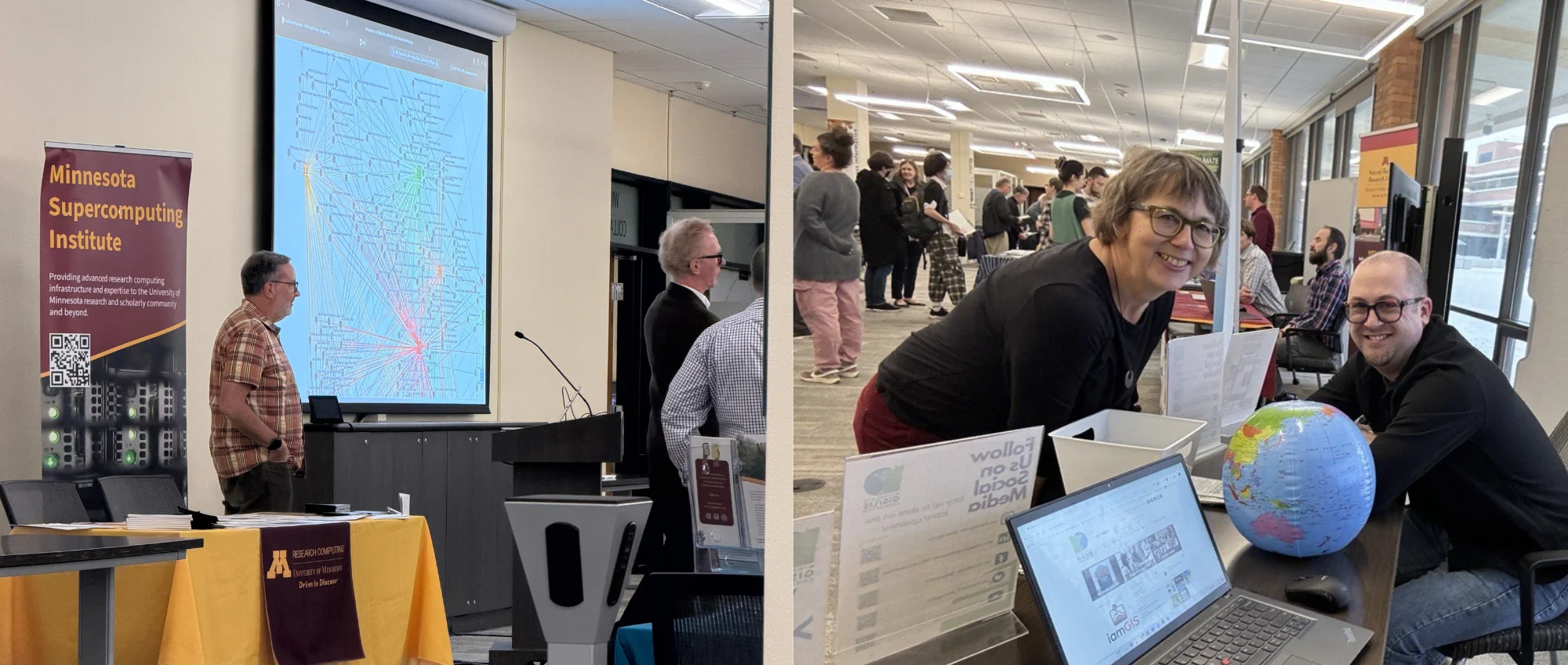
Our educational specialists design and deliver hands-on workshops, build asynchronous self-paced learning tracks, and manage our daily, one-on-one help desk consultations. By translating complex spatial computing concepts into accessible, actionable skills, we empower researchers across every college to confidently navigate modern geospatial software independently.
Solving Complex Problems
Spatial Thinking for the Common Good
Some of the most critical challenges facing the State of Minnesota and the global community cannot be solved with traditional datasets alone; they are fundamentally defined by location, space, and time.
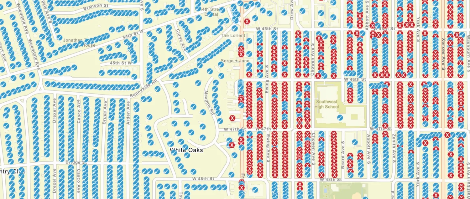
We channel our collective analytical power into tackling societal problems. Our team actively partners on interdisciplinary initiatives addressing climate resilience, public health disparities, and environmental equity. By leveraging advanced spatial statistics, predictive modeling, and remote sensing analysis, we deliver the empirical, real-world proof needed to drive systemic progress and serve the public good.
U-Spatial by the Numbers
A snapshot of our impact across the University of Minnesota community.

3,000+
Researchers supported across every department and center at the university

20,000+
ArcGIS accounts managed for students, faculty, and staff

39+
Minnesota counties supported with Hazard Mitigation Plans

2 Campuses
Active labs on the Twin Cities and Duluth campuses

Meet the Team
Experts in GIS, remote sensing, and spatial computing
Our team brings together GIS specialists, geospatial developers, data analysts, and project managers across the Twin Cities and Duluth campuses. Led by Director Len Kne, Associate Director Stacey Stark, and Geospatial Operations Manager Sarah Porter, we're a group of problem-solvers who do science — and who believe that spatial thinking can change the world for the better.
Common Questions About U-Spatial
Answers to what people most often want to know about who we are and how we work.
How is U-Spatial funded?
A mix of university support and project funding
U-Spatial is part of Research Computing within the University of Minnesota's Research and Innovation Office. Our core services — including the Help Desk, training workshops, and software management — are supported by the university. Larger research projects and specialized consulting work are typically funded through grants, contracts, or collaborative agreements with partner organizations.
What's the relationship between U-Spatial and Research Computing?
We're one team within a larger ecosystem
U-Spatial is a center within Research Computing, which consolidates management of research computing services at the University of Minnesota. This means we work alongside teams focused on high-performance computing, data storage, and other research infrastructure. The synergy between these units allows us to help researchers find the right computing and storage solutions for their spatial work — whether that's a cloud-based mapping tool or a supercomputer.
Can external organizations partner with U-Spatial?
Yes — we collaborate beyond campus
We regularly partner with state agencies, county governments, tribal nations, and other organizations on projects with clear public benefit. Our hazard mitigation planning work, for example, involves direct collaboration with dozens of Minnesota counties and tribal governments. If you're interested in partnering with U-Spatial, contact us at [email protected] to start a conversation.
What makes U-Spatial different from other GIS services?
We're researchers, not just service providers
What sets U-Spatial apart is that our team does science. We don't just hand you a tool and send you on your way — we join your project as scientific collaborators who understand methodology, data integrity, and the research process. Combined with our deep institutional knowledge of the university's spatial resources, we can help you find the fastest path from question to insight.
How do I acknowledge U-Spatial in my research?
A simple citation in your acknowledgments
If U-Spatial resources — computing, data, visualization, or staff expertise — contributed to your published research, please consider acknowledging us. A simple mention in your acknowledgments section works: "The authors acknowledge U-Spatial at the University of Minnesota for providing resources that contributed to this research (uspatial.umn.edu)." We also appreciate hearing about your work — it helps us demonstrate impact and secure continued funding for our services.